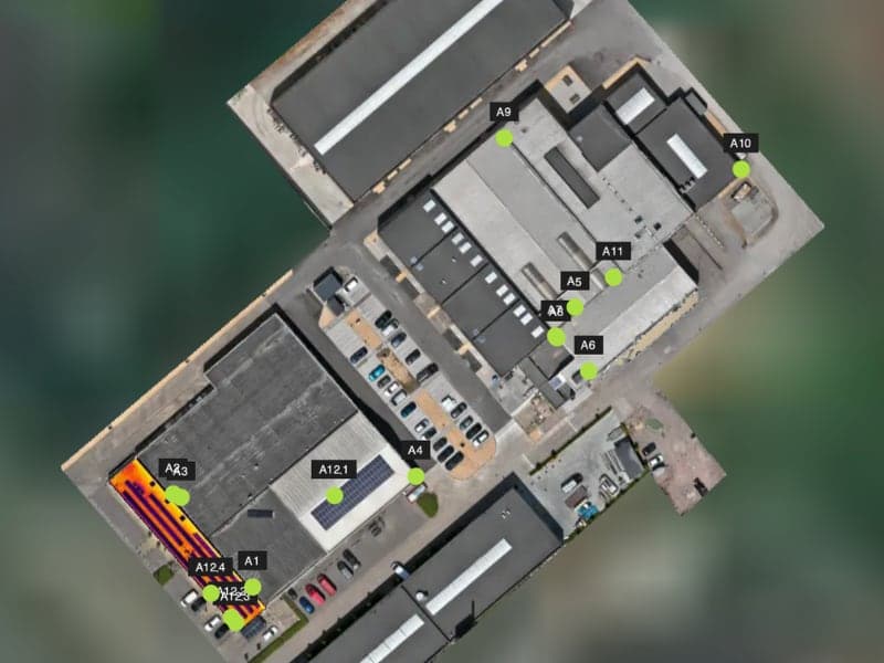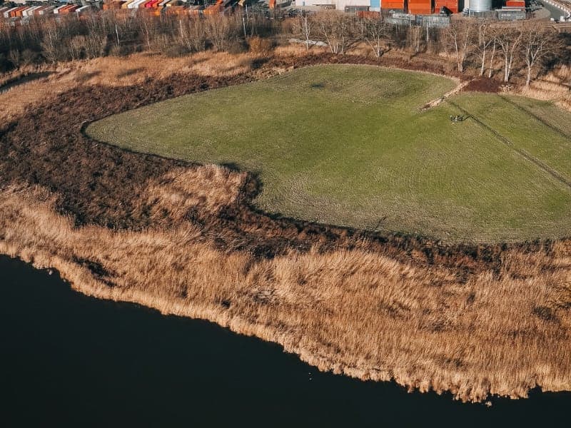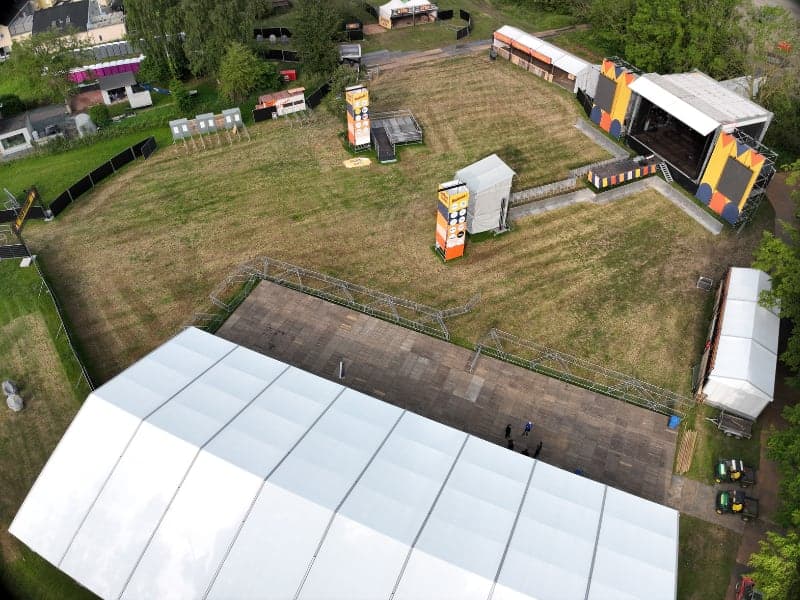
50 retail sites, 28 airspace procedures
One photo set per store, for 50 sites across the country, more than half of which were located in controlled airspace.
- Client
- Retail group, real estate department
- Location
- Belgium
- Service
- Roof & Facade
- Site type
- Stores with parking and surroundings
- Output
- Geotagged aerial photos in JPEG
- Execution
- 2026
The challenge
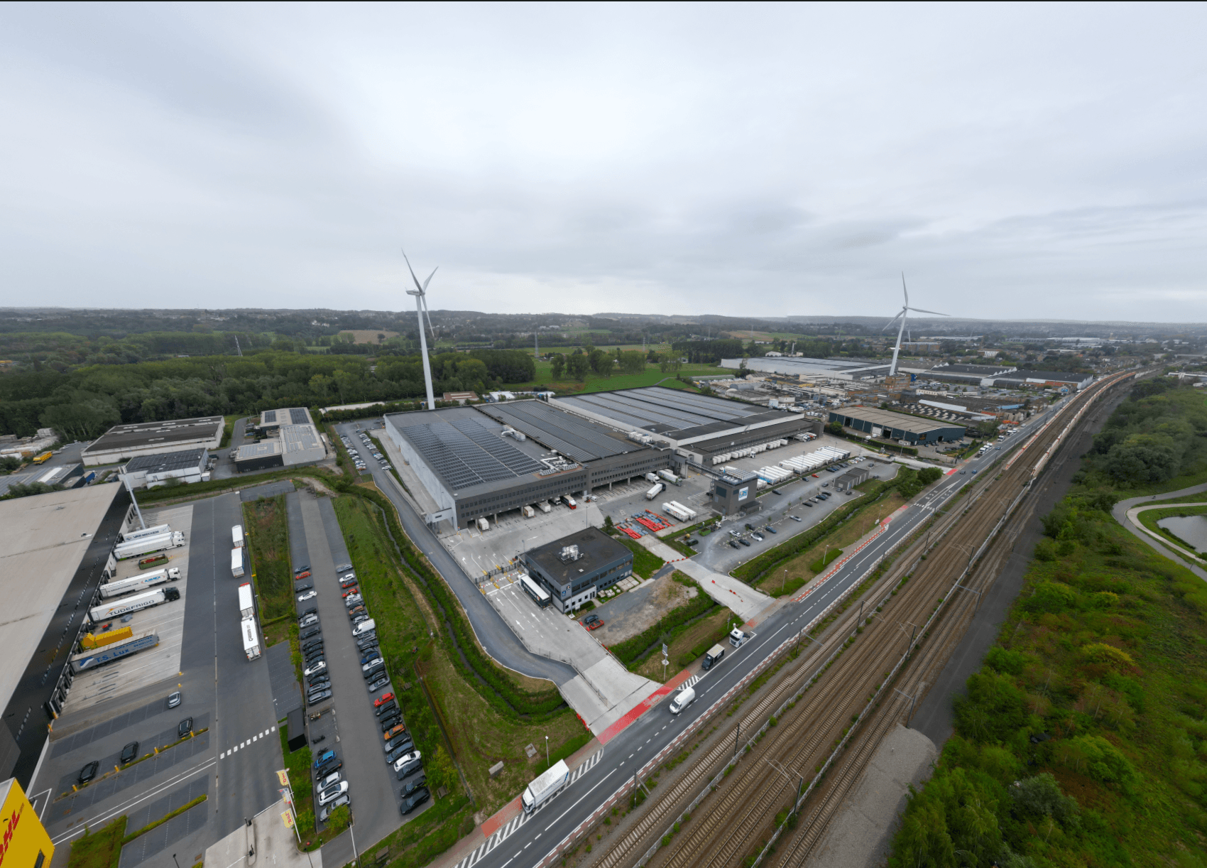
The real estate department of a retail group wanted a current picture of each location: the store, the four facades, the parking area, the installations on the roof and the surrounding neighbourhood. The list comprised 52 locations at 50 addresses, from stores in busy city centres to supermarkets on a rural main road. The specifications defined for each site which images were required, at what resolution and with a GPS coordinate per photo.
The photos themselves were the easy part. The real puzzle was the airspace above those 50 addresses.
Our approach
- Airspace checked per address. In the quotation we estimated 23 sites in a geozone. After checking each address, it turned out to be 28 of the 50: control zones of five airports, a military zone, two smaller airfields and a port area. Each address got its own line in the flight file, with regime, lead time, final application date and maximum flight altitude.
- Applications in the right order. Lead times ranged from a notification three hours in advance to eight working days for an authorisation. An application calendar, sorted by submission date, determined what had to go out and when. On 19 sites a ceiling of 45 metres applied instead of 120.
- The lightest aircraft where possible. A drone under 250 grams flew 44 sites in the open category A1. On five sites where wind or surroundings required it, the DJI Matrice 4E flew.
- Routes per region. The sites were clustered per flight day and sequenced based on actual driving times. Stores in pedestrian zones were scheduled early in the day, before shoppers arrived. Three sites in urban areas flew with an airspace observer, whose mobile number was registered in advance with the zone manager. At stores on a quay, the flight line stayed away from the water.
- Rescheduling without losing authorisations. When a flight day was cancelled, the remaining 35 sites were redistributed over four flight days. Every permission tied to the cancelled day was reapplied for or moved.
- Post-processing and delivery. Colour correction, export in JPEG with geotag and one folder per location. At two addresses, two store formats share one roof: one flight, two separate deliveries.
Delivered data
- Aerial photos per location in JPEG, at least 6000 x 4000 pixels, with a GPS coordinate per image
- Per site the four side facades, the store with its surroundings, a top-down image and detail images of the parking area, entrance and roof installations
- 51 delivery folders, one per location and store format
Result
| Result | Value | Source |
|---|---|---|
| Addresses flown and delivered | 50 | Delivery folders |
| Addresses with an airspace procedure | 28 of 50 | Flight file |
| Sites flown with an aircraft under 250 g | 44 | Flight file, planning |
One address is located in a zone where the open category is prohibited. We explicitly requested permission to fly within Specific.
What the dataset does not show
Aerial photos show what a site looked like on the day of capture. They are not a survey: they contain no dimensioning, orthophoto or area calculation. An image of a roof installation also says nothing about the condition of the roofing underneath. Anyone who wants to measure or assess the condition needs a survey or a roof inspection.