Survey of a festival site during the build-up
For Slinkse Sinkse we mapped the complete festival site during the build-up. Safety services, logistics partners and suppliers then worked from the same up-to-date site plan.
- Client
- Slinkse Sinkse
- Location
- Steenhuffel
- Service
- Surveys
The question
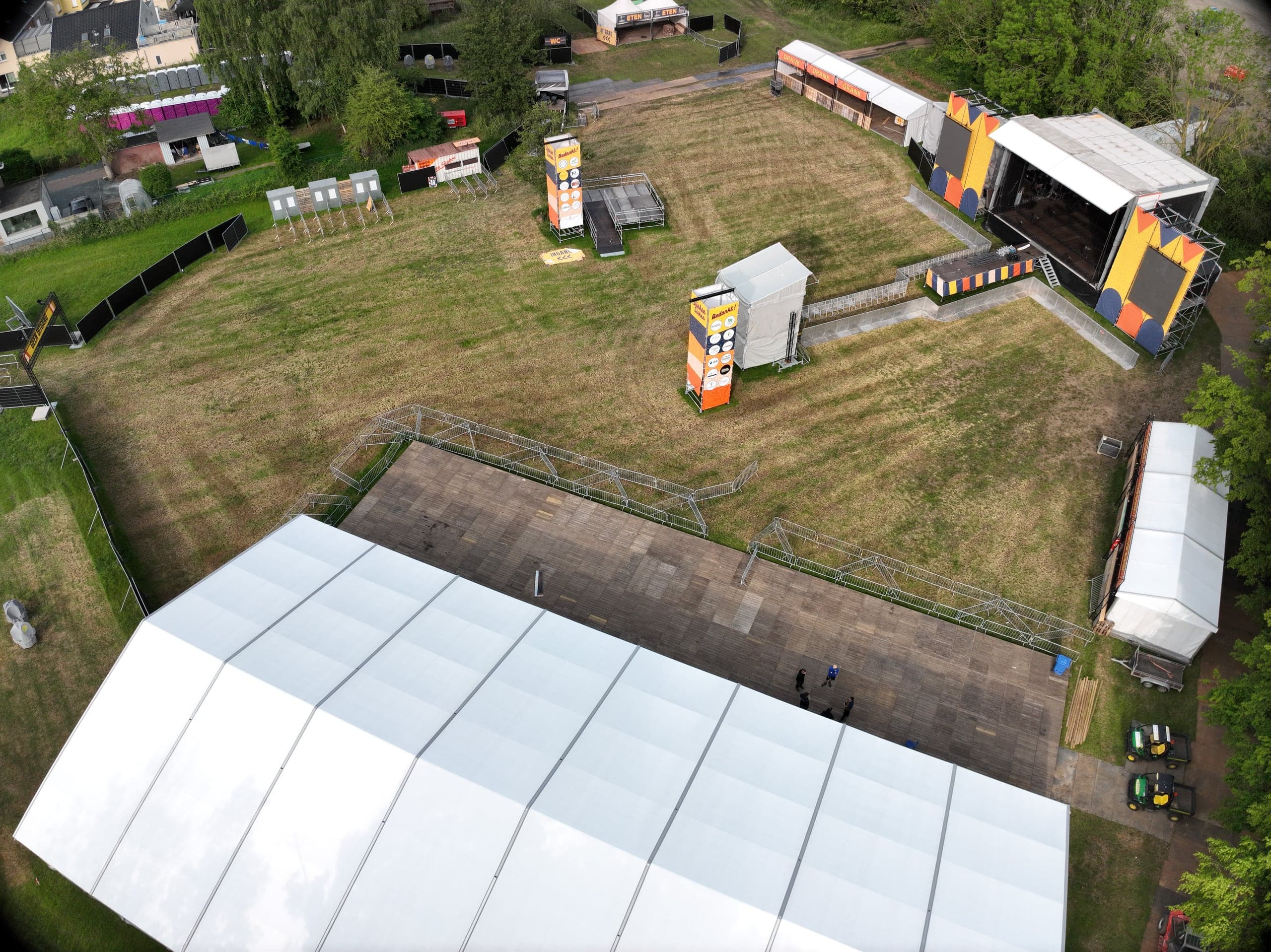
The organisers needed an up-to-date and accurate ground plan of an extensive festival site, including the temporary infrastructure, for logistics planning and safety meetings.
Scope and conditions
The complete site during the build-up, with tents, stages and cable ducts already partly in place. The capture had to fit in between the work, without holding up the build-up.
Approach
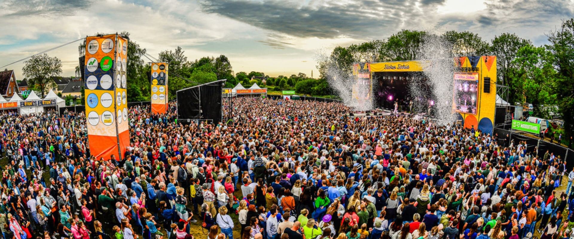
A single nine-minute photogrammetric flight with RTK positioning, processed into an orthophoto and a 3D model of the site. The result was shared with all subcontractors as a link.
Files delivered
- High-resolution orthomosaic
- 3D model
- Up-to-date layout plan
Result
- 9minutes of flight time
- for a current site plan showing every tent, stage and cable duct in its actual position.
What the dataset does not show
The plan shows the situation at the time of the flight. A festival site changes every day, so later calculations require a new survey moment. Evacuation and crowd calculations remain the work of the safety adviser.
HOVVR's drone data replaced our outdated plans with an up-to-date overview. This was essential for our safety briefings.
Production manager, Slinkse Sinkse