Wall survey of adjacent buildings in Ghent
For a construction project in Ghent city centre we recorded the façades and roofs of 37 adjacent buildings as a baseline survey, without entering the properties and without an aerial lift. The dossier shows every visible crack and imperfection before excavation work started.
- Client
- Land surveyor
- Location
- Ghent
- Service
- Surveys
The question
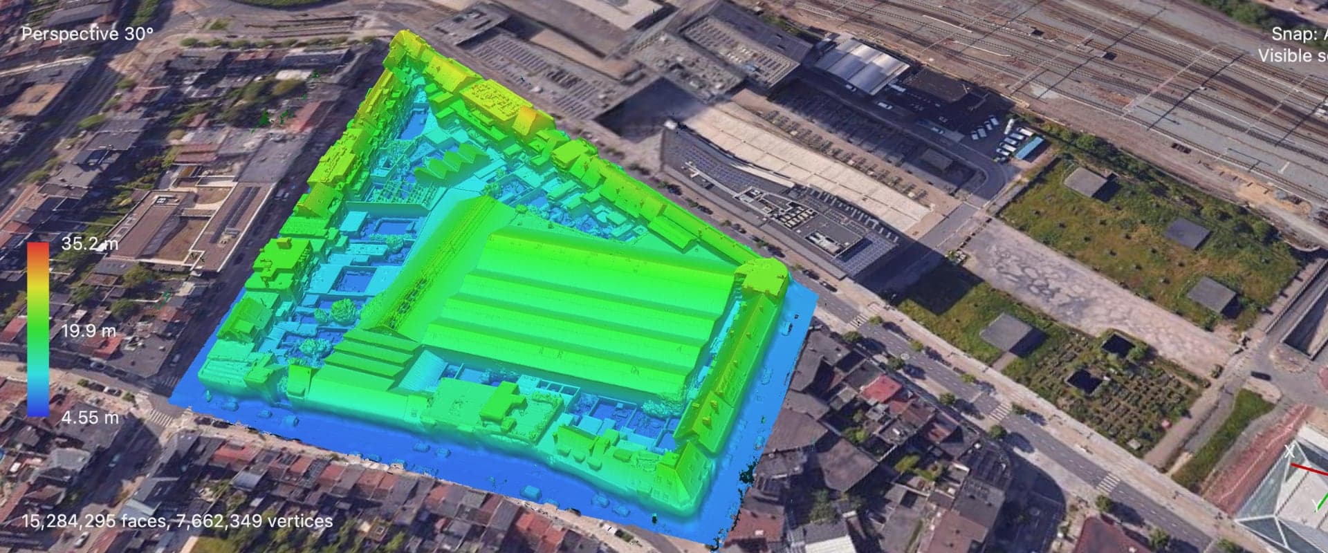
The land surveyor wanted a complete baseline survey of the façades and roofs of 37 adjacent buildings, so that later disputes about damage caused by the construction work could be settled.
Scope and conditions
A densely built city centre with buildings leaning against one another, residents in the street and limited access to the roofs. The capture was not allowed to disturb local residents. Because of the urban environment, the capture was carried out under our Specific authorisation.
Approach
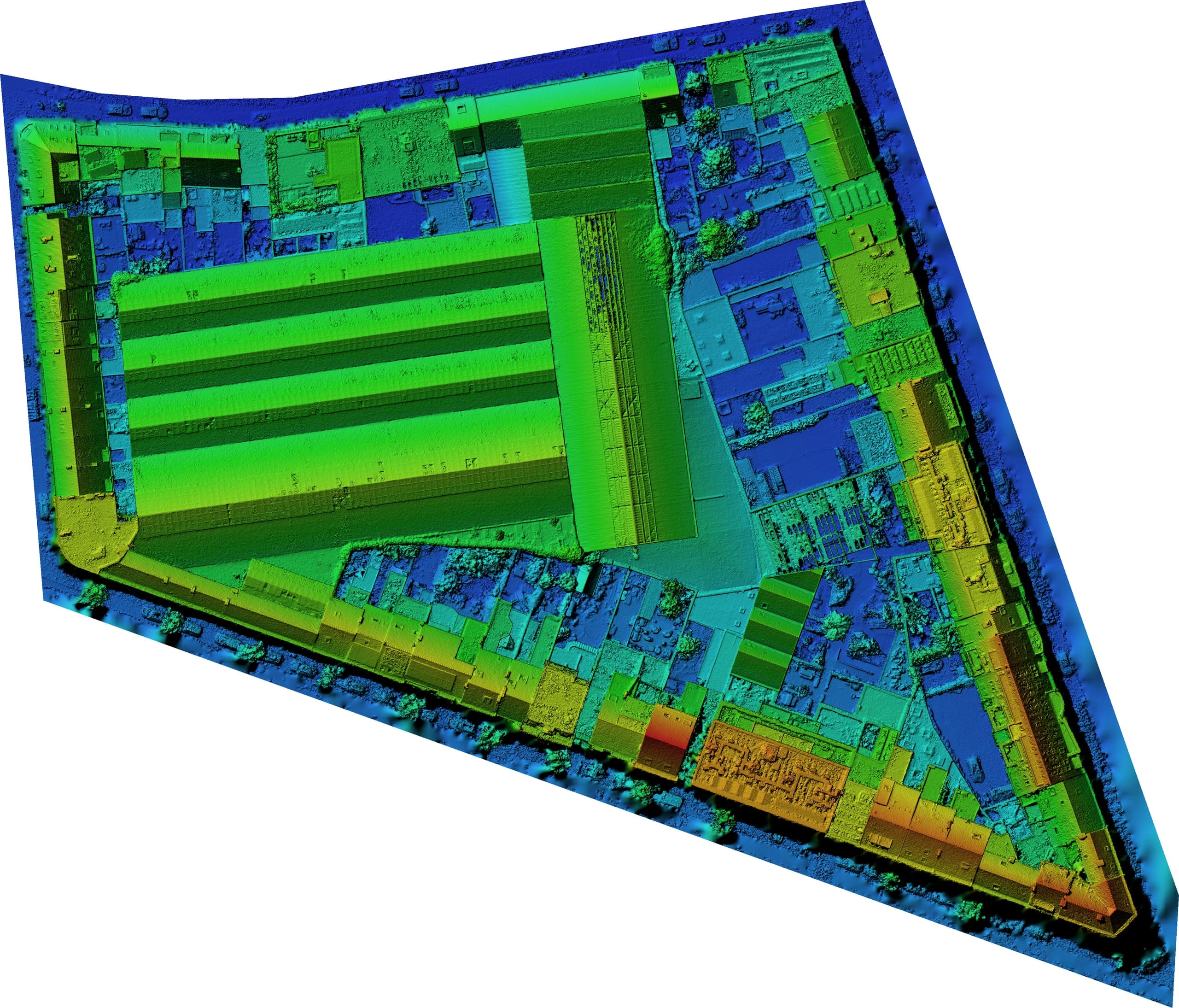
Photogrammetric capture of all relevant façade and roof planes with a high-resolution camera and high overlap. Processed into a 3D model and orthophotos per façade, without entering the properties.
Files delivered
- High-resolution orthophotos per façade
- 3D model
- Detailed inspection report
Result
- 37buildings
- recorded in five days as a baseline survey, with metadata per image for later verification.
What the dataset does not show
The dossier shows the visible condition of the façades and roofs on the day of capture. It is not a joint schedule of condition in the legal sense; that is signed by the land surveyor or architect. Interior walls, foundations and cracks smaller than the pixel size are outside what the images show.