
A site you can measure, not just look at
- GSD from 1 cm
- Accuracy under 2 cm with RTK and ground control points
- Delivered in your coordinate system
Seeing a site from above is useful. Positioning, comparing and analysing it correctly is what delivers value. We collect overlapping images and reference data and turn them into orthophotos, elevation models, point clouds and volumes. Before the flight we establish what the data are for, which accuracy is needed and in which format your team will continue working.
An aerial photograph is not a survey base
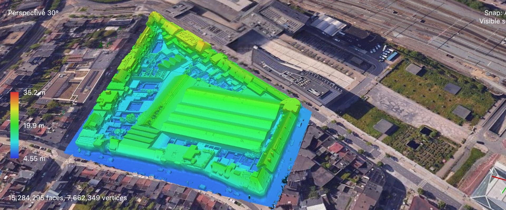
An ordinary aerial photograph contains perspective distortion. An orthophoto is geometrically corrected and georeferenced, so positions and distances can be used within the agreed accuracy. An elevation model adds the third dimension. A DSM shows the top surface of the terrain, vegetation and objects. A DTM approximates the ground level once those objects have been filtered out. Which one you need depends on your analysis. That is the first thing we ask.
From aerial capture to measurable orthophoto
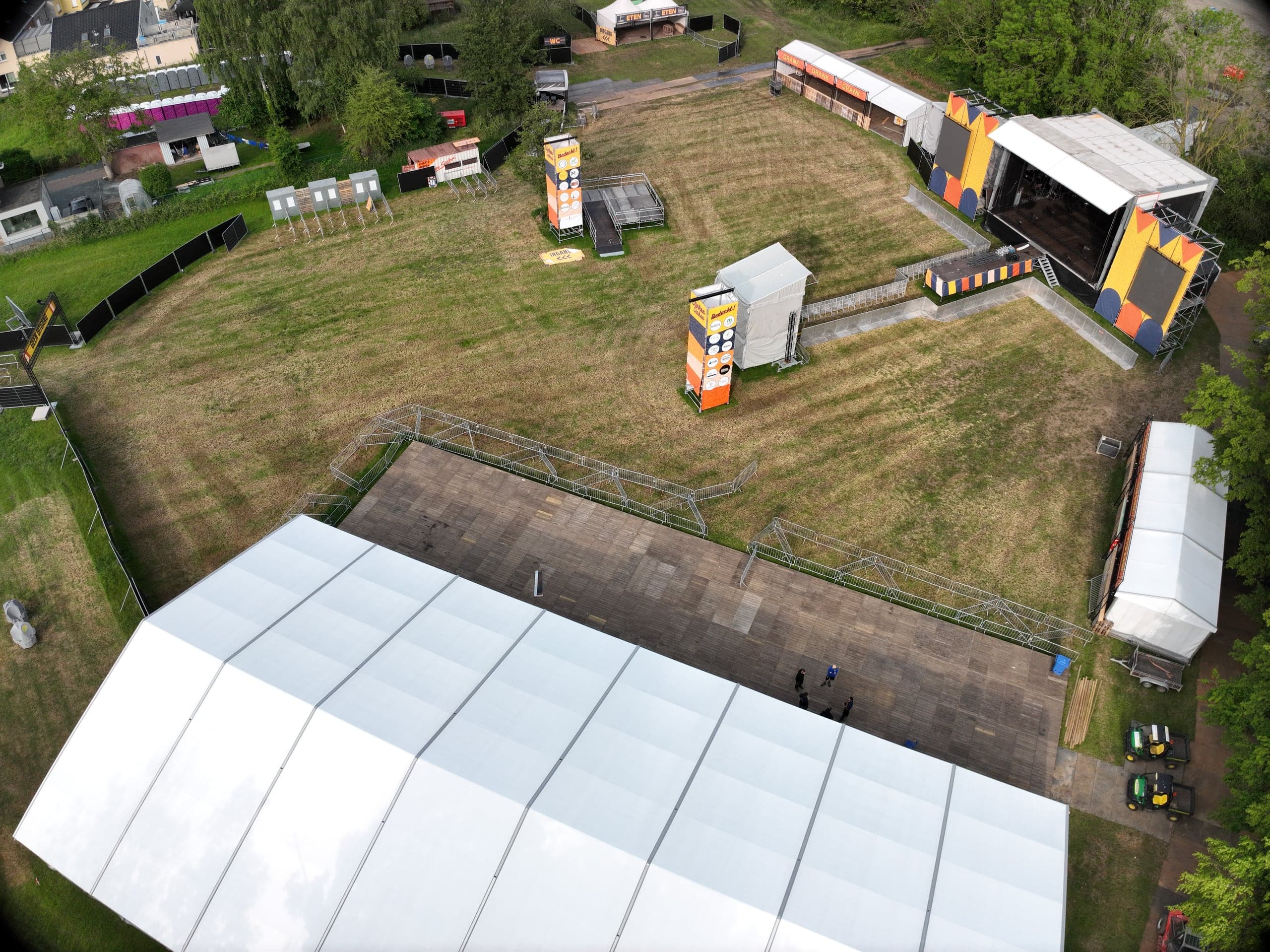
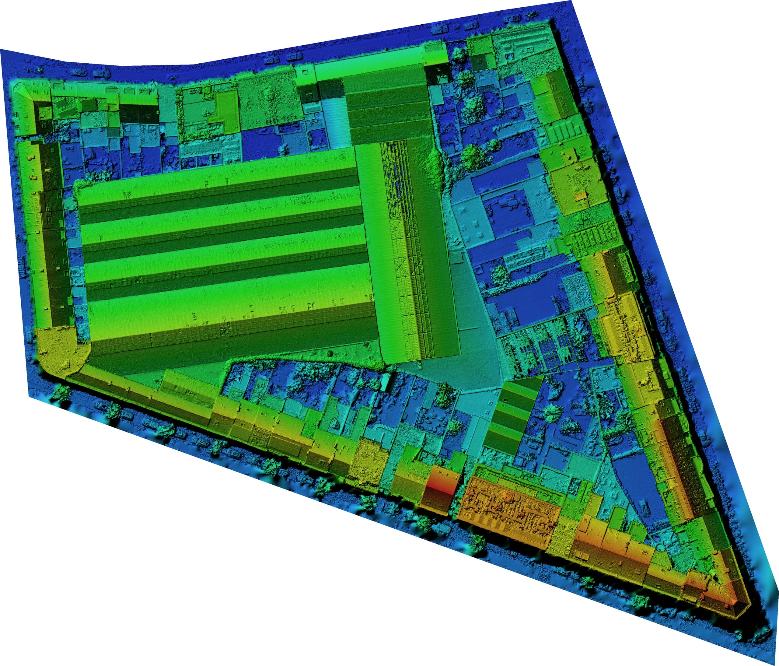
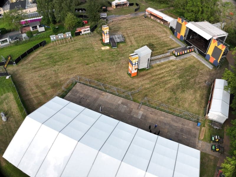
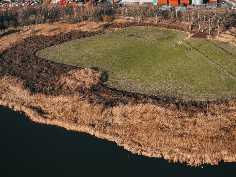
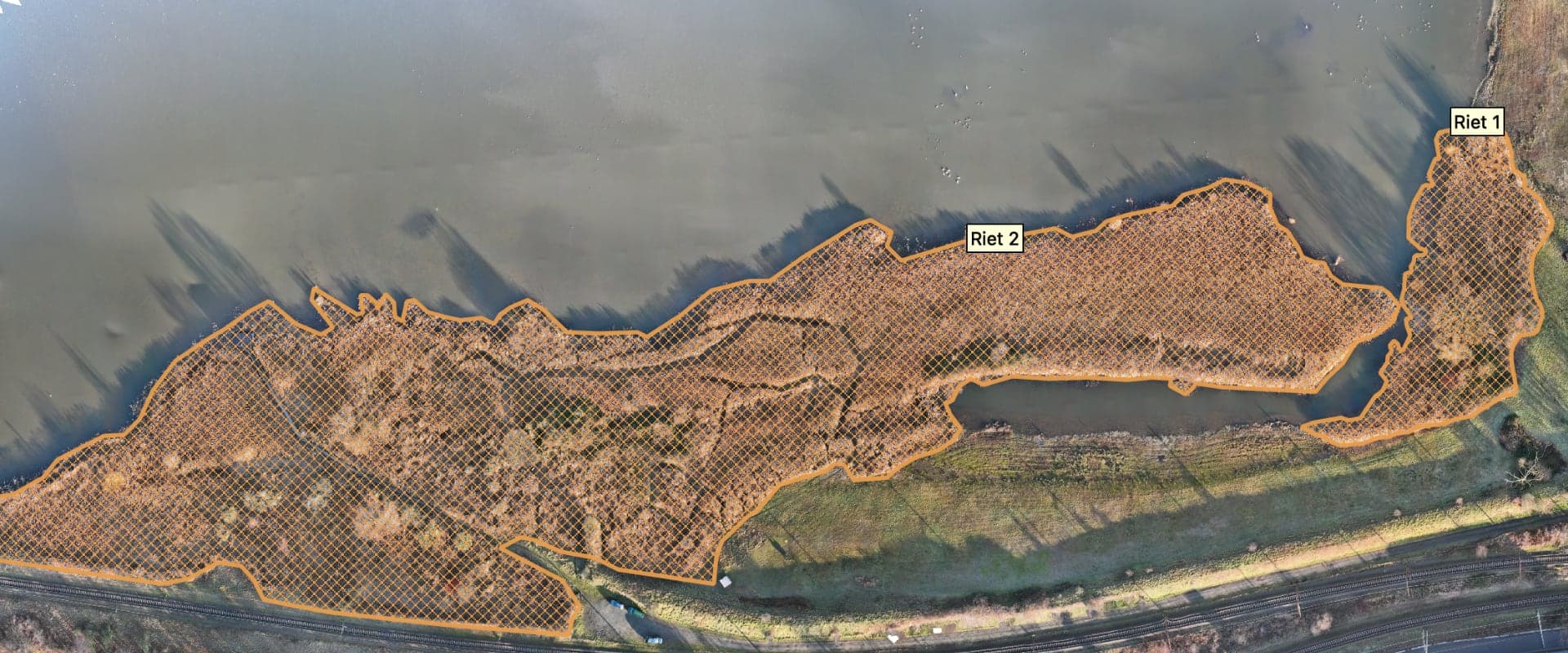
The aerial capture and the georeferenced orthophoto of the same site, ready for use in GIS or CAD.
GSD and accuracy are not the same
GSD (ground sampling distance) is how much ground one pixel represents. Accuracy is how closely the dataset matches the true position in a coordinate system. The two are often confused, including in quotes.
With RTK positioning, ground control points and independent checkpoints, we achieve an accuracy under 2 cm. That applies under conditions: clearly visible terrain, enough control points and suitable weather. Under dense vegetation, on reflective surfaces or without control points, the accuracy is lower. That is why we decide before the flight which set-up is needed, and after processing we report the measured value, not a promised one.
When you need a sworn land surveyor
A drone survey is not a cadastral or legally binding boundary determination. The difference is not in the technique but in the legal authority.
You need a sworn land surveyor as soon as a legal guarantee is attached: a boundary determination or boundary marking, a survey plan for a notarial deed, a division or subdivision of plots, an official survey plan for a permit application or an assessment for a court. Underground utilities and anything not visible from the air are also outside what we deliver.
A drone survey is sufficient for design preparation, site studies, volume calculation, progress monitoring, as-built records of the visible condition, GIS layers and any analysis for which you need a current, georeferenced base layer.
The two often work together. We deliver the area-wide data, the land surveyor measures the points that require his signature. Mention it in your request and we will coordinate it in advance.
Construction site monitoring by drone
A construction site changes every week. Disputes about what stood where and when are the most expensive afterwards. With captures at fixed moments, you record progress objectively. Every capture is georeferenced, so you compare two dates on the same coordinates rather than two photos by eye.
In practice that gives you: earthworks you recalculate rather than estimate, a timeline that holds up in a dispute with the client or insurer, and an as-built image of the visible condition at handover.
We agree the survey moments in advance as a series. The flight plan, control points and airspace file are then set up once and reused. That shortens the turnaround of each subsequent capture.
What you receive per survey moment
- Georeferenced orthophoto
- DSM or DTM, as agreed
- Volume difference compared with the previous survey moment
- Annotated overview image
- Everything in your coordinate system, ready for GIS or CAD
Applications
- Site survey for design or study
- Georeferenced orthophoto for GIS
- DSM and DTM for height analysis
- Volume calculation
- Construction site monitoring over time
- As-built records
- Roof survey for solar panels
- Nature and environmental mapping
Delivery formats
| Format | What you receive |
|---|---|
| GeoTIFF | Orthophoto |
| GeoTIFF | DSM, DTM or other elevation model, according to the agreed definition |
| LAS / LAZ / E57 | Point cloud |
| DXF / DWG | Contour lines, spot heights, profiles or roof outlines |
| CSV / GeoJSON | Points and vector data for GIS |
| PDF / XLSX | Volume or difference report |
| Web | Web viewer for quick reference |
| Quality report with GSD, reference, checks and limitations |
Does your team use other software? Tell us which, and we will match the delivery to it.
Frequently asked questions about surveys
What is the difference between an orthophoto and an aerial photograph?
An orthophoto is geometrically corrected and georeferenced and can serve as a map layer. An ordinary aerial photograph has perspective and distortion.
What is the difference between a DSM and a DTM?
A DSM also includes buildings, trees and other objects. A DTM approximates the ground level once those objects have been filtered out. We fix the exact definition in advance.
Can I open the data in QGIS, ArcGIS or CAD?
Yes. We match the format, coordinate system and derived products to your software.
How accurate is a drone survey?
Under 2 cm, under conditions (RTK, ground control points, independent checkpoints, clearly visible terrain). Without those conditions the value is higher. We report the measured accuracy for each project.
Examples of a delivery
- Assignment · Surveys50 hectares
of nature reserve mapped in one day of flying. Individual nests are visible on the orthophoto, without anyone entering the breeding area.
Nature management in the port of Antwerp, 50 hectares mapped
Port of Antwerp · Natuurpunt Antwerpen Noord & Kempen vzw · Read the case - Assignment · Surveys9 minutes of flight time
for a current site plan showing every tent, stage and cable duct in its actual position.
Survey of a festival site during the build-up
Steenhuffel · Slinkse Sinkse · Read the case
Send the outline of the site and your software
With the site, the result you need and your software, we propose the capture and delivery specifications, including coordinate system and control points. The file opens straight away.