One point of contact, from quote to delivery
I am Anton De Vis and I have been flying drones since 2017. With the required EASA certificates (A1, A2, A3 and EU-STS) and an operational authorisation in the Specific category based on a SORA, we have been able to offer commercial services since 2024 (including those with increased risk, such as in urban environments).
HOVVR is built around one principle: a drone is not a goal, but a measuring instrument. What matters is what you receive after the flight. An inspection report with numbered points of attention. A georeferenced orthophoto. A point cloud that opens in your CAD software.
You therefore always speak with the person who prepares the flight plan, applies for the permissions, flies and processes the data. No account manager passing on your question, no subcontractor you never see. At HOVVR, we like to think along with you, in the short and the long term. Curious what we can do? Feel free to browse around or send us an e-mail (calling is of course also possible).
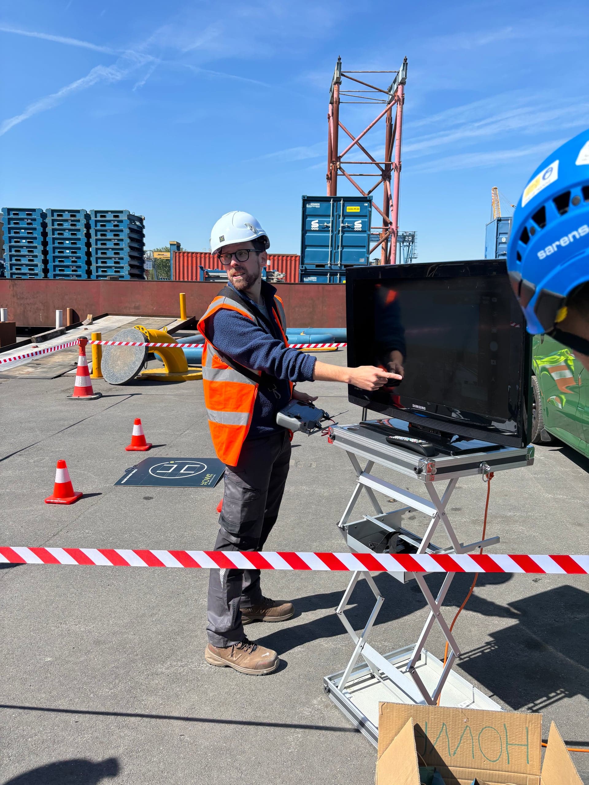
Anton De Vis
- Certificates
- EASA Open A1/A2/A3
- Authorisation
- Specific category, operational authorisation based on a SORA risk assessment
- Operator ID
- BELc1t7ql1xl7t4p
- Flying experience
- 10 years
Details
- Certification
- EASA Open A1/A2/A3 · Specific (SORA)
- Operator ID
- BELc1t7ql1xl7t4p
- Insurance
- Aviation third-party liability insurance in accordance with EU Regulation 785/2004, policy details on request
- Privacy
- GDPR-compliant, privacy by design
- Area of operation
- Belgium, assignments across the Benelux
- Company
- HOVVR is a trade name of HakunaMaData BV, BE 0760.626.785
Principles
- 01
Working together, not just carrying out
Your goal carries as much weight as my expertise. I think along about what you need, not about how much I can fly.
- 02
No Take-Off Policy
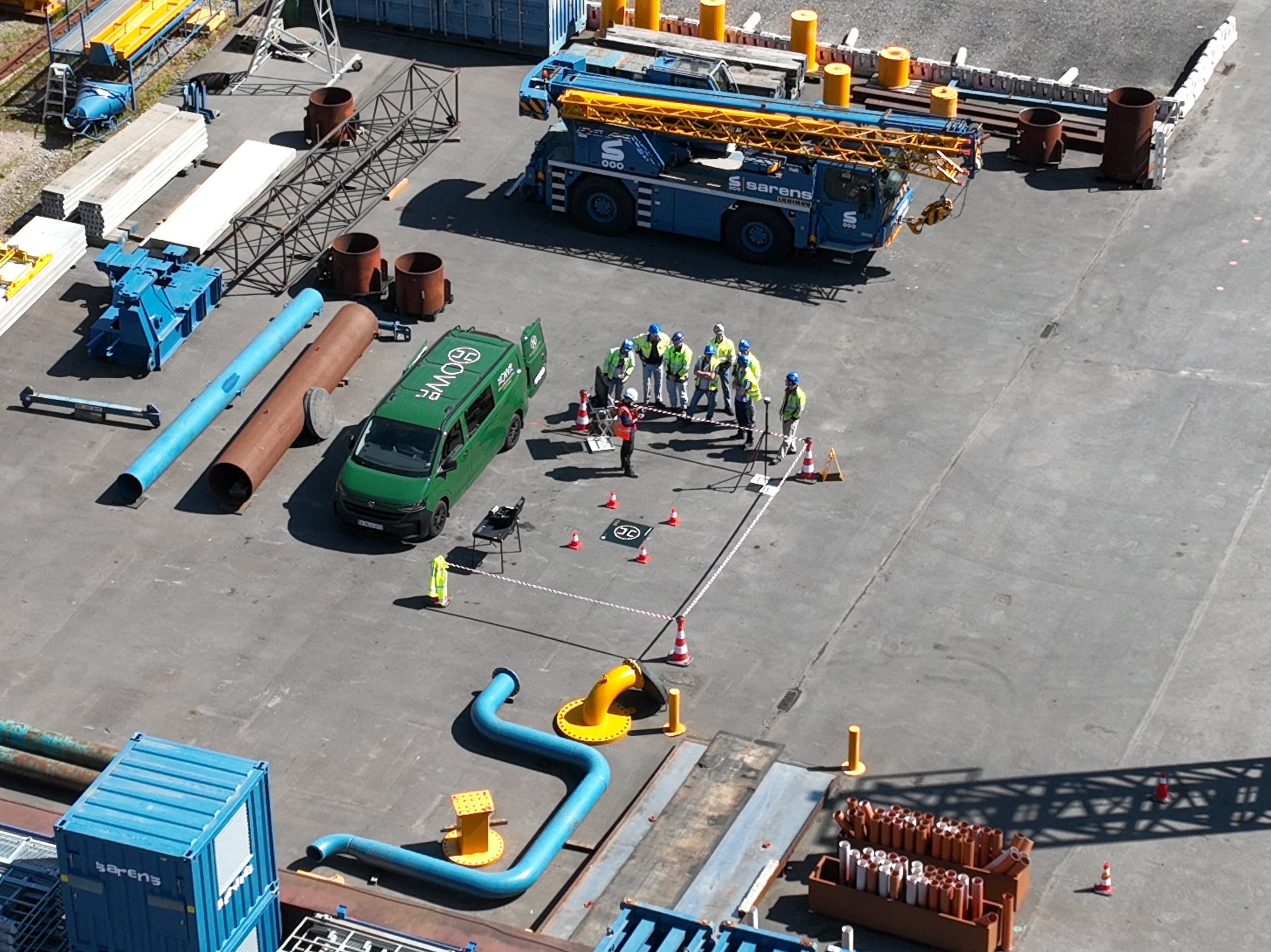
Doubt about weather, surroundings or regulations means: no take-off. With average wind above 8 m/s (about 29 km/h), the drone stays on the ground. That has cost me assignments, and it will stay that way.
- 03
True Airmanship
Every flight is prepared, logged and checked within the EASA framework. You can verify what was flown and under which conditions.
- 04
Leave No Trace
Minimal disturbance, advance communication with residents and bystanders, nothing left behind. Digitally too.
Method
- 01
Intake and flight plan
Together we establish what you want to know. I translate that into a flight plan, the right sensor and the necessary permissions.
- 02
Flight and recording
I fly within the EASA framework and record everything in a structured way: images, measurements and metadata.
- 03
Processing
The raw data are processed into something you can use, with a quality check before anything leaves.
- 04
Delivery
You receive the files and a report with the assumptions and limits of the dataset. For questions and follow-up surveys, I remain your point of contact.
A technical project starts with a good conversation
Describe your location and your question. I will assess feasibility and propose an assignment containing only what you need.