
Record the building as it stands today
- Point cloud and 3D model
- Orthographic views
- No physical contact
Heritage changes. Sometimes slowly through weathering, sometimes within a single season through damage or a restoration. We record the visible shape of a building or monument without touching it and without scaffolding. You get a digital basis for study, archiving, design, consultation with the Flemish heritage agency (Onroerend Erfgoed) and comparison over the years.
- Reference
- Orthomosaic per façade, locally referenced
- Flight category
- Open A2 · VLOS · 36 min
- Turnaround
- 1 day
The monument in 3D, from every angle
Rotate the model and view the facades and roof from every angle, just as your architect or restorer receives it.
The 3D model will follow. This is where the model of a documented building will appear.
Individual photos show detail, not how it fits together
Photos taken from the ground or from a ladder show a great deal, but miss the spatial relationships. On tall or richly detailed buildings, full coverage is also difficult. Photogrammetry combines overlapping images into a single geometric model. Your architect, restorer and property manager can then view the same capture from any angle, measure distances and study zones again, without having to arrange access each time.
The limits of the model
A photogrammetric model is a reconstruction based on visible images. It is strong on shape, texture, distance and context. It does not show hidden layers of construction and does not replace material testing, a structural stability study or destructive testing. Reflective surfaces, uniform textures, vegetation and deep shadow affect the reconstruction. The quality report states, zone by zone, where the model is reliable and where it is not.
No impact on the monument
The drone does not touch the building. We limit physical access to what is needed for reference points. At occupied or visited sites, we provide information in advance on timing, purpose and privacy measures. If there is doubt about airspace, nesting birds, cables or fragile zones, we do not take off and we propose a different approach.
Applications
- Digital baseline survey
- Documentation at height
- Orthographic views
- Basis for CAD, BIM or a heritage inventory
- Comparison between two captures
- Interactive 3D model
Delivery formats
| Format | What you receive |
|---|---|
| LAS / LAZ / E57 | Point cloud, georeferenced or locally referenced |
| OBJ / GLB | Textured 3D model |
| TIFF / PDF | Orthographic façade and roof views |
| JPG | High-resolution image archive, per façade or zone |
| Web | Web viewer in which project partners can take measurements |
| Quality report with assumptions and limitations |
Does your team use other software? Tell us which, and we will match the delivery to it.
Frequently asked questions about 3D documentation
Can the model be used in CAD or BIM?
Yes. A point cloud or derived geometry can serve as a reference in CAD or BIM software. The preparation needed depends on the purpose and the scale, and we agree it in advance.
Can the model be compared again later?
Yes, provided the reference, capture method and quality level remain comparable. That is why we fix them at the first capture.
Can a drone always fly around heritage?
Not always. Airspace, surroundings, people, trees, cables, birds and fragile zones can limit the approach. We assess this in advance and, where necessary, propose a different capture strategy.
Can visitors view the model online?
Yes. We can provide a lightweight web version or a GLB model, separate from the heavy technical files.
Examples of a delivery
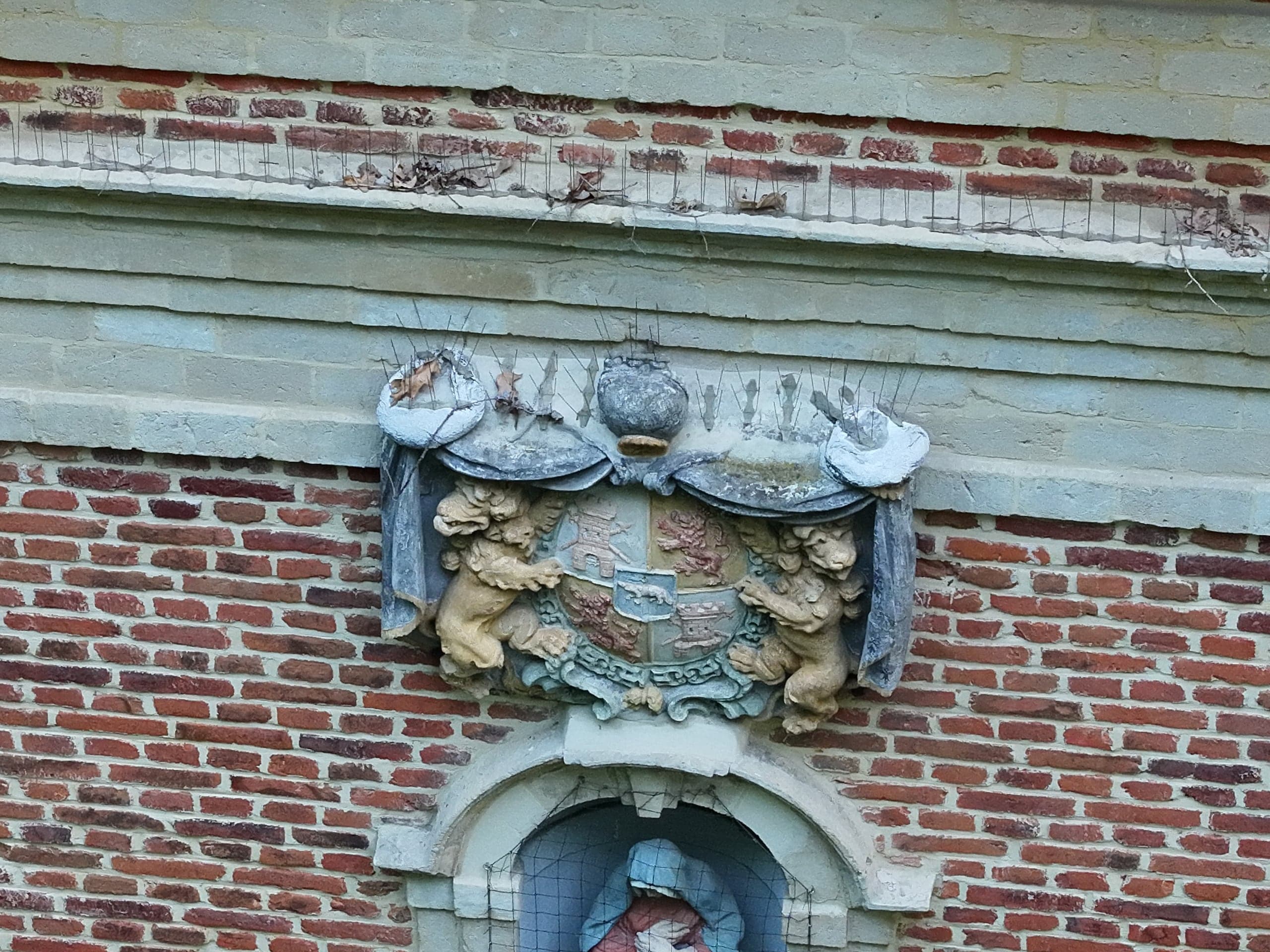
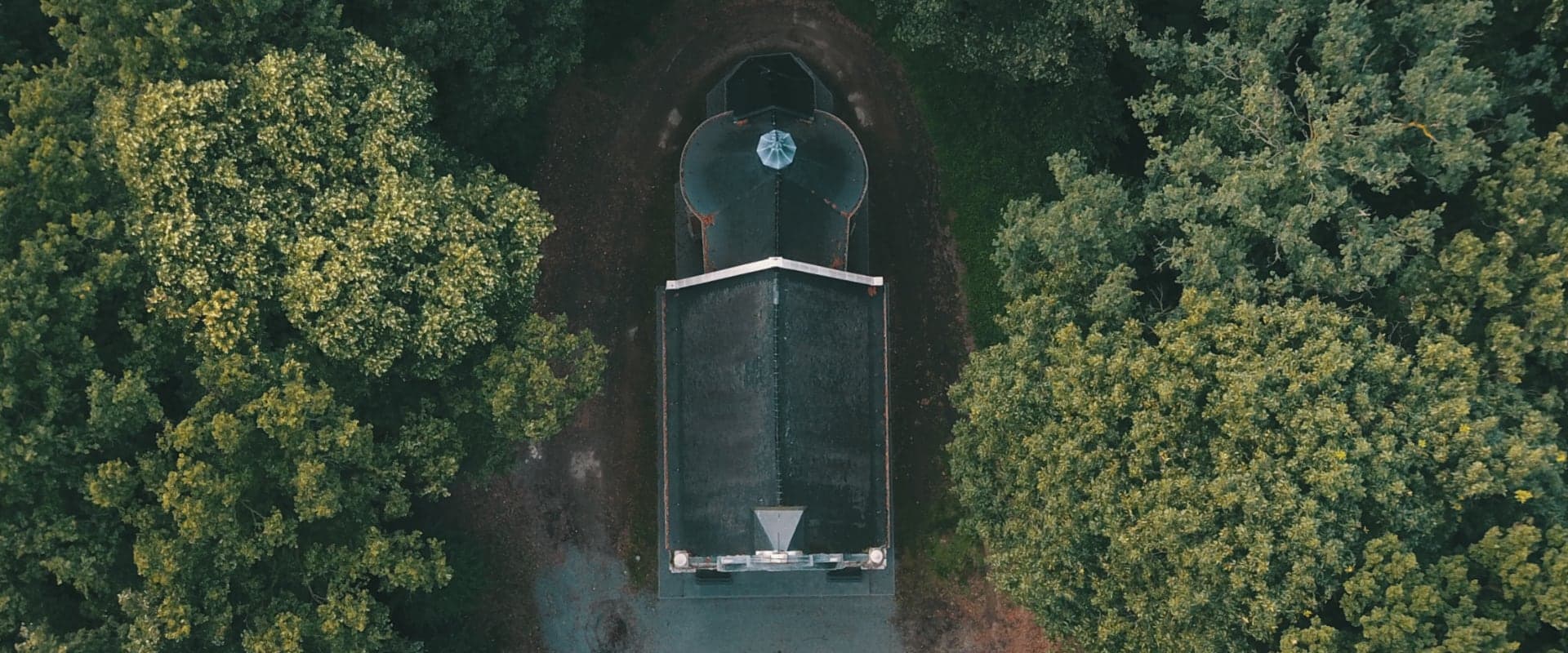
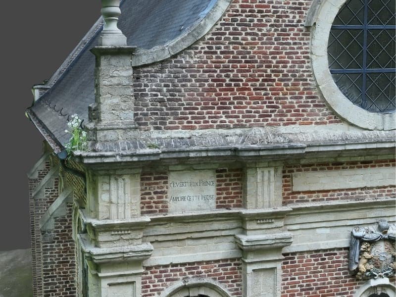
- Assignment · Heritage & Property36 minutes of flight time
for all façades and the roof of a chapel dating from 1707, without a ladder or scaffold against the building.
Inspection of the Boskapel in Imde
Imde (Meise) · heritage manager · Read the case 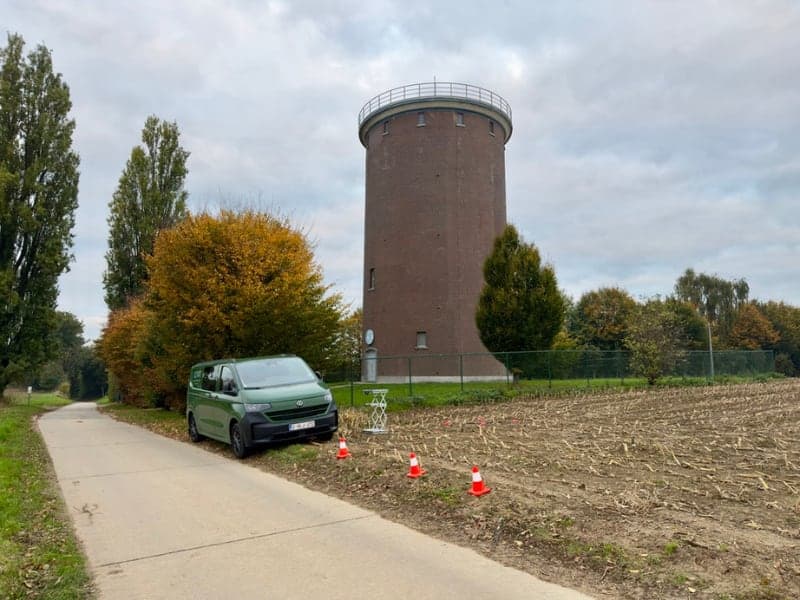 Assignment · Heritage & Property25 minutes of flight time
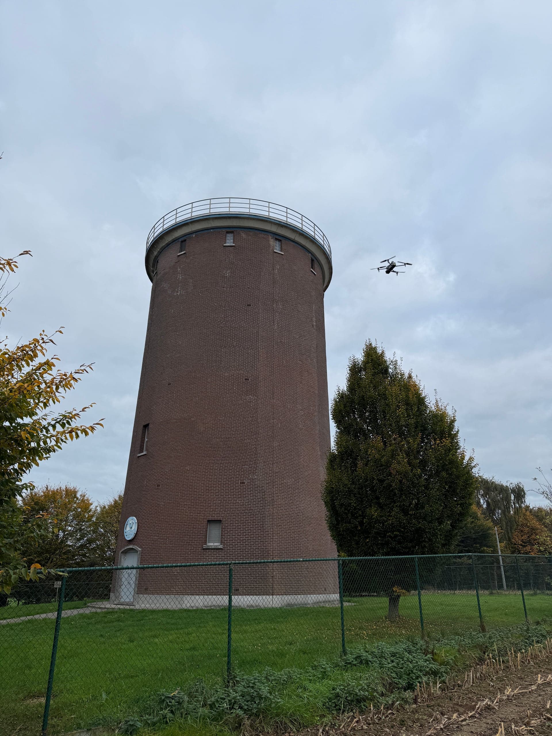
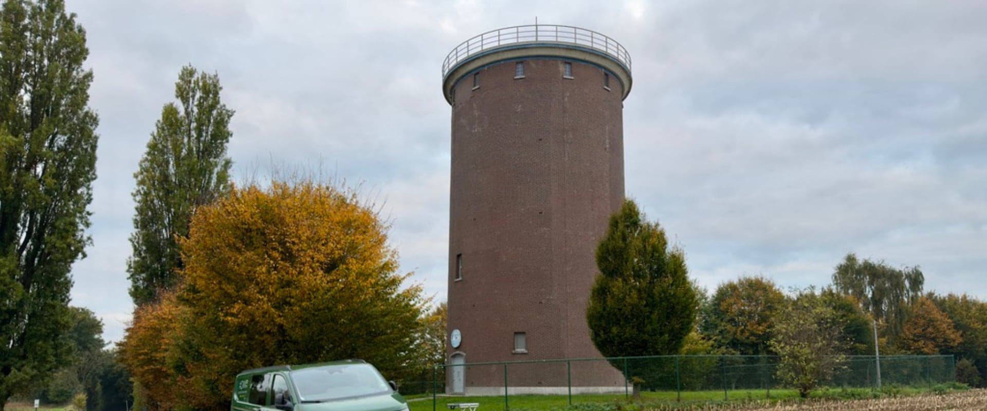
for a complete 3D model of the tank, shaft and roof, in which the engineer locates and measures concrete damage from his desk.
3D model of a water tower for renovation planning
Brussegem · water utility · Read the case
Tell us which building it is and what you will use the data for
Archiving, restoration, measurement and public engagement each call for a different level of detail. With the building and the intended use, we propose the right resolution and delivery.