

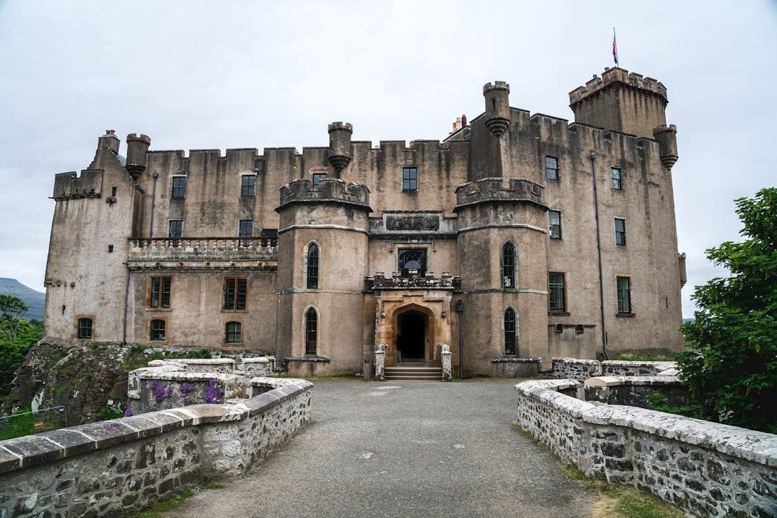
Belgium has thousands of protected monuments, from belfries to chapels and industrial heritage. Weathering, moisture and cracks are often invisible from the ground. Scaffolding or industrial rope access technicians are expensive and bring their own risk to a vulnerable building. A drone records the condition without touching the building.
What the capture delivers
Using photogrammetry, we take hundreds to thousands of overlapping images of the monument. Software processes them into:
- A point cloud: millions of measurement points recording the geometry of the building
- A textured 3D model: in which the architect and restorer can study every detail remotely
- Orthophotos per façade: scaled images without perspective, for mapping cracks or damp patches
Detail at height
A drone reaches places people struggle to get to: the top of a tower, ornaments high on a façade, a complex roof structure. With a high-resolution camera we record erosion, loose masonry or vegetation growth at a detail of a few millimetres per pixel.
Monitoring over the years
By repeating the capture periodically, for example every two years, the heritage manager can compare the condition objectively. Is a crack getting wider? Is an ornament shifting? That makes it possible to intervene before the damage becomes irreparable or much more expensive. Condition: the second capture uses the same reference and method as the first.
Public engagement
A 3D model can also be used for a virtual tour, an exhibition or as the basis for a scale model. A lightweight web version is enough for that, separate from the heavy technical files.
FAQ
Is flying near a monument not risky?
We fly to a fixed protocol, with a certified pilot and an aircraft with obstacle detection. Around fragile zones we keep extra distance. If there is doubt about wind, cables or nesting birds, we do not take off.
How accurate is a 3D scan?
That depends on distance, sensor, reference points and processing. Image resolution and accuracy are not the same. For each assignment we report the quality achieved and where the model is less reliable.
Can a drone also fly inside a monument?
Flying indoors requires a special drone with a protective cage that works without GPS. That is outside our standard offer. For interior captures we work with a specialist partner or propose a different method.
Read the cases: Inspection of the Boskapel in Imde · 3D model of a water tower
Related service: Heritage & Property