
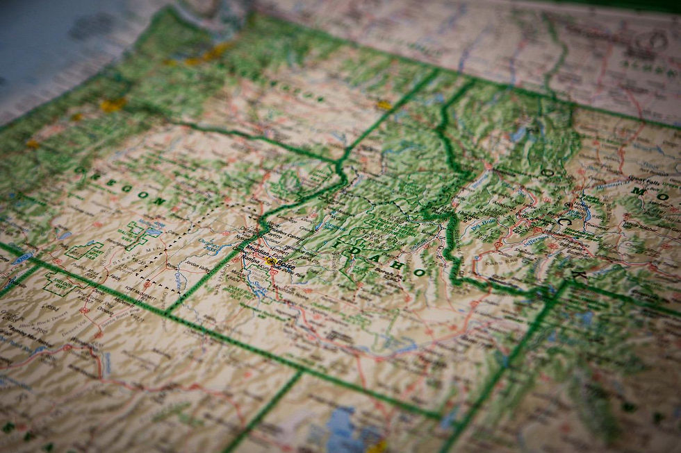
We deliver well-georeferenced orthophotos, DSM/DTM, and vector layers that fit directly into GIS workflows.
Why you should think about drone technology?
Consistent CRS and metadata
High resolution orthophoto and DSM
Vector layers from segmentation
Automatic exports

The advantage of working with HOVVR
Data quality
Quality report with RMSE, overlap, and GSD. Clear and reproducible.
Scalable
Tiles and pyramids for quick rendering in heavy projects.
Feature extraction
Segmentation into polygons, lines or points as a shapefile or GeoPackage.
Certified Partner
A Belgian operator that understands local regulations and is quickly available throughout the country (and the EU).

Accurate data that stays accurate. Ready for analysis, maps, and dashboards.
Intake
CRS, geoid, and delivery formats are coordinated. We define layers and attributes.
Flight plan
Calculate overlap, height, and GSD. We plan for quality and safety.
Processing
Orthomosaic, DEM and vectorization with clear metadata.
Delivery
Packages and checksums. Short handover with sample project.